Geography · Grades 3–6
Free printable US states map worksheet
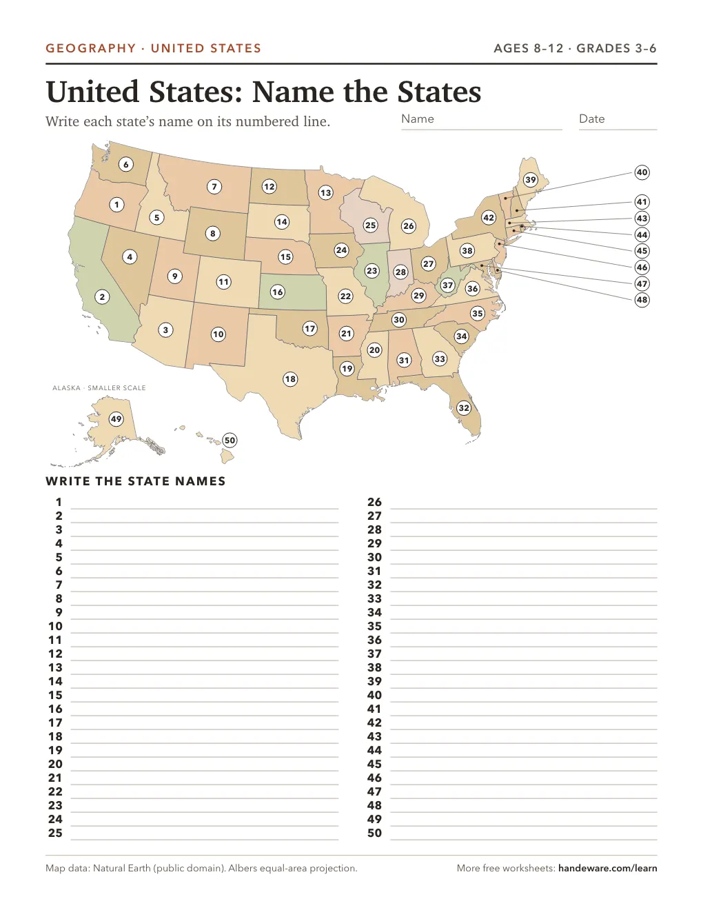
Every state is numbered on a real map, drawn from Natural Earth data in an equal-area projection, so the shapes and sizes are right. Kids write each state’s name on its numbered line. The small Northeast states get leader lines, so none is too tiny to number.
Make it easier with a word bank, or zoom in on one region: Northeast, Midwest, South or West. Turn on the answer key for a second page with every name filled in. It prints on US Letter or A4, in standard or large print.
Questions
Is this US map worksheet free?
Yes. Print it as many times as you like. There is no sign-up.
Is there an answer key?
Yes. Leave "Answer key page" on and a second page prints with every state name in place.
Can I print just one region?
Yes. Pick Northeast, Midwest, South or West. These are the four regions the U.S. Census Bureau uses.